Enterprise Risk Advisory

Geospatial Intelligence.Real-World Security.

Pollard Intelligence delivers GIS-powered threat assessments that turn complex geographic and security data into decisive, actionable intelligence for the organizations responsible for protecting people, property, and critical assets.

24/7
Threat Monitoring
50+
Assessments Delivered
100%
Confidential

GIS-Powered Intelligence

Advanced spatial analytics that expose blind spots across complex physical security environments.

Threat Assessments

Comprehensive identification of vulnerabilities across facilities, campuses, and infrastructure.

Actionable Deliverables

Intelligence products engineered for immediate implementation by security stakeholders.

Professional Analysis

Advisory led by intelligence professionals with real field and operational experience.

/ Threat Assessment Services

Intelligence Built for the Field

Our specialized methodology fuses geospatial science with tactical security principles to protect your most valuable assets. Select any service to preview a sample demonstration report.

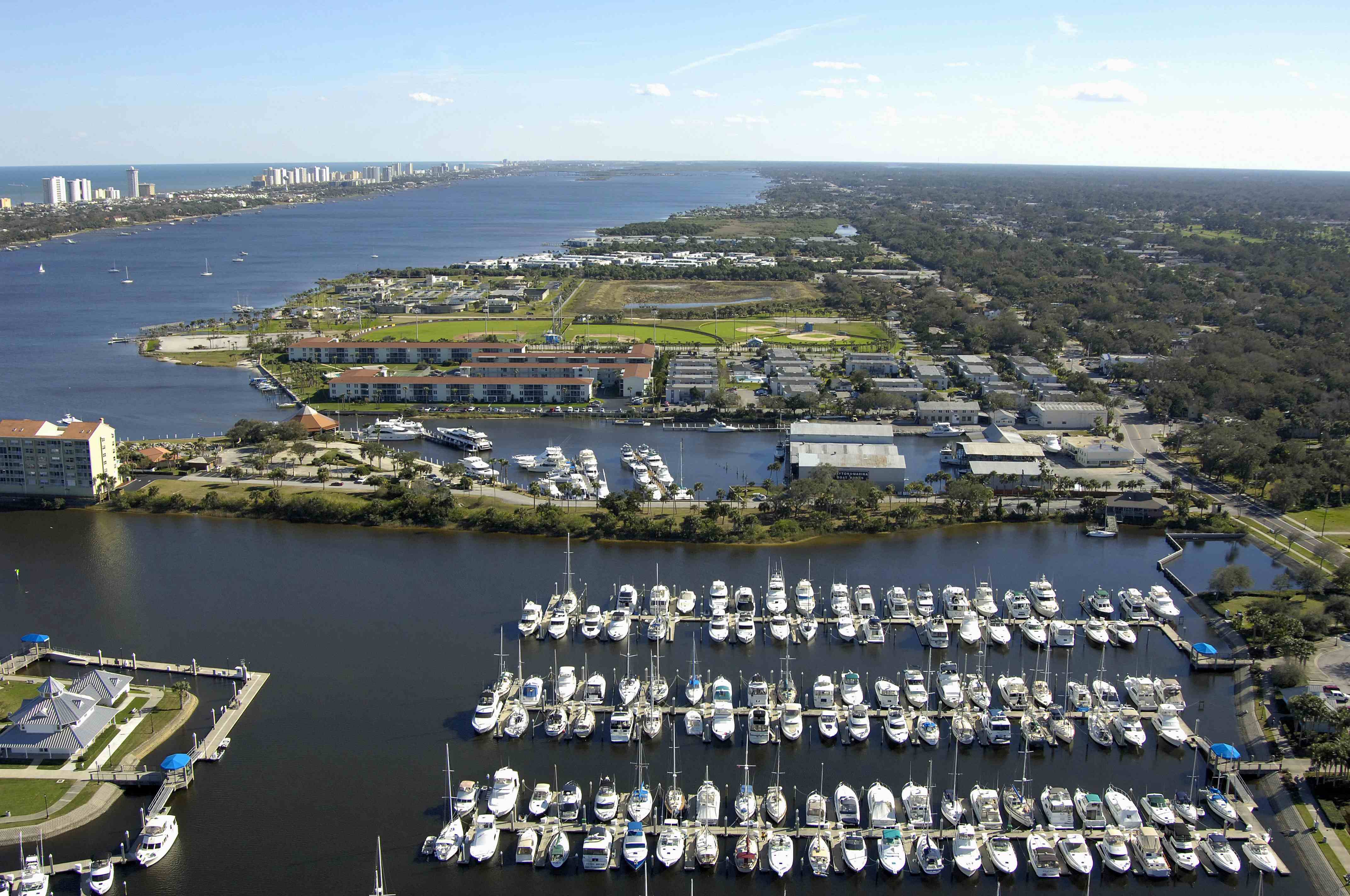
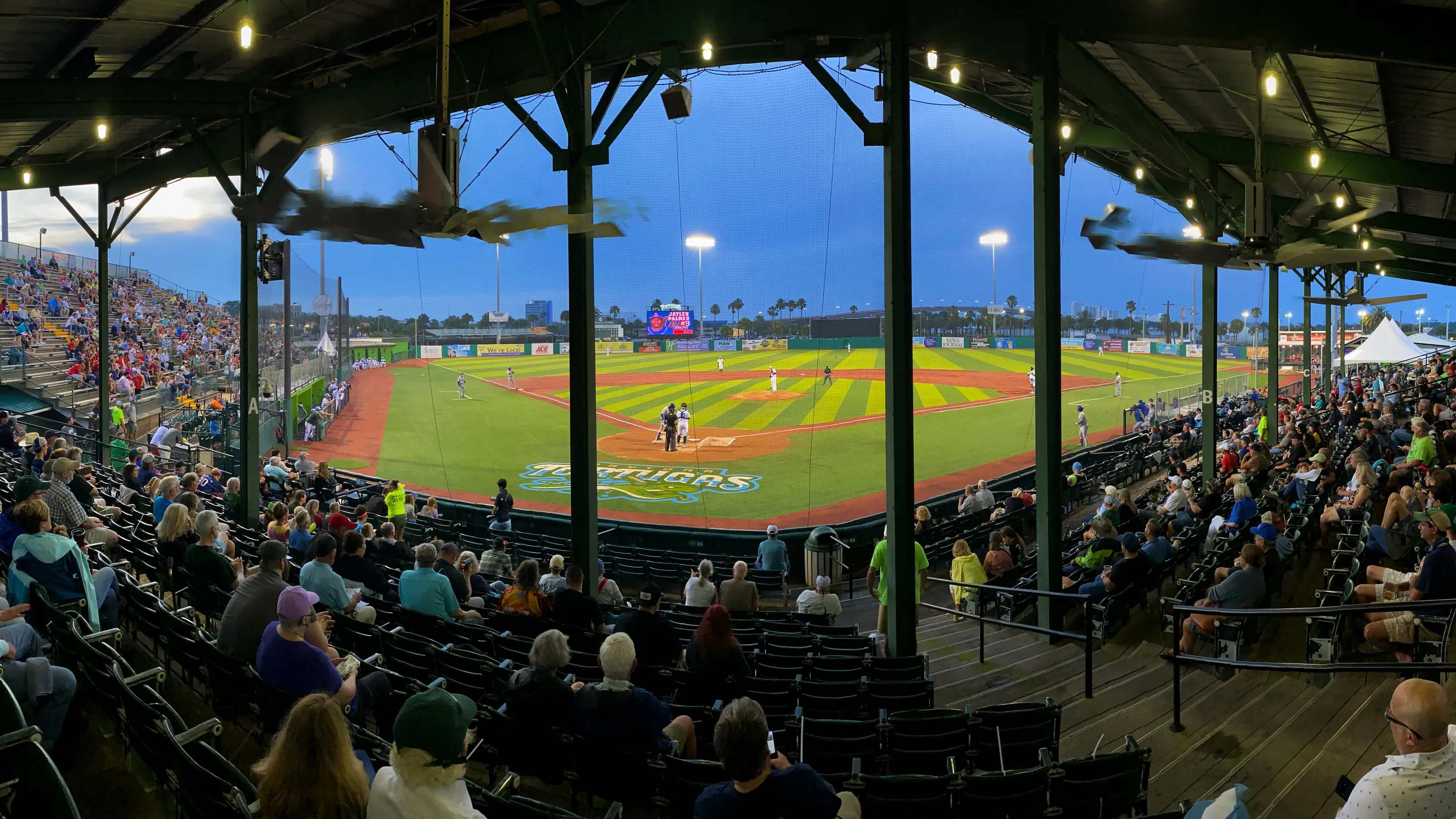
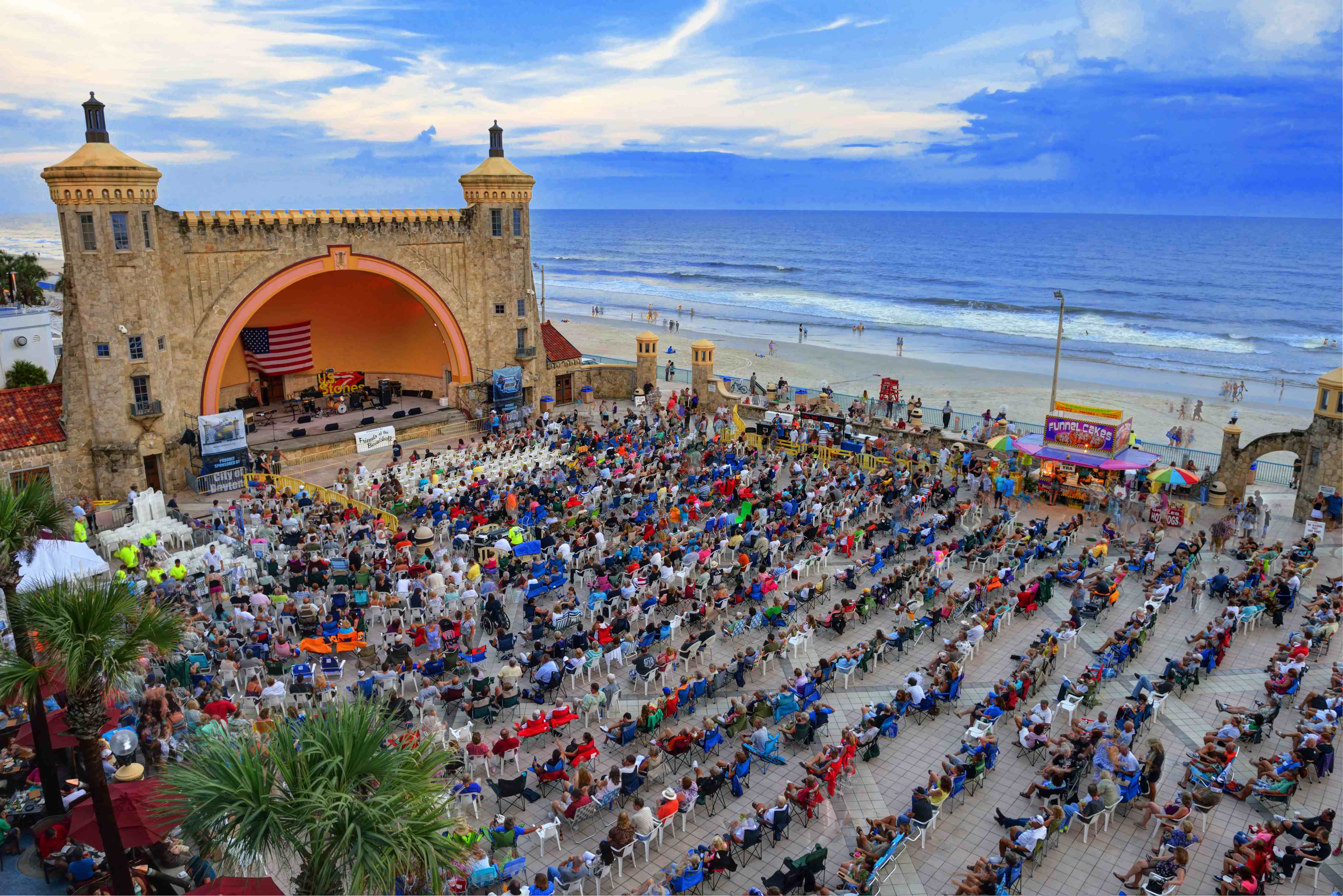
Aerial view of a Daytona Beach marina full of docked boats along the Halifax RiverCrowd watching a baseball game at dusk from the grandstand at Jackie Robinson Ballpark in Daytona BeachCrowd gathered at the Daytona Beach Bandshell for an oceanfront concert
Live B-Roll

Pollard Intelligence

We protect the places people gather — marinas, venues, and businesses — so communities stay safe, open, and thriving.

/ Methodology

From Raw Geography to Decisions

  1. 01

    Collect

    We aggregate satellite imagery, crime data, environmental variables, and on-site reconnaissance into a unified spatial model.

  2. 02

    Analyze

    GIS layering exposes proximity risks, sightline gaps, and access vulnerabilities invisible to conventional audits.

  3. 03

    Assess

    Threats are scored and prioritized against likelihood and impact, mapped directly to your critical assets.

  4. 04

    Advise

    You receive a clear, prioritized deliverable — hardening measures ready for immediate implementation.

/ Why It Matters

Don't let overlooked security become tomorrow's regret

The biggest risks are the ones no one accounted for. When security measures are skipped or treated as an afterthought, small blind spots become the exact gaps a threat exploits. Geospatial intelligence catches what a walk-through misses — before it ever matters.

A packed stadium crowd at a large public event
Soft targets

Crowded places are the hardest to protect

Venues, campuses, and public gatherings concentrate thousands of people into spaces with limited egress. A single overlooked sightline or access point can turn a normal day into a mass-casualty event.
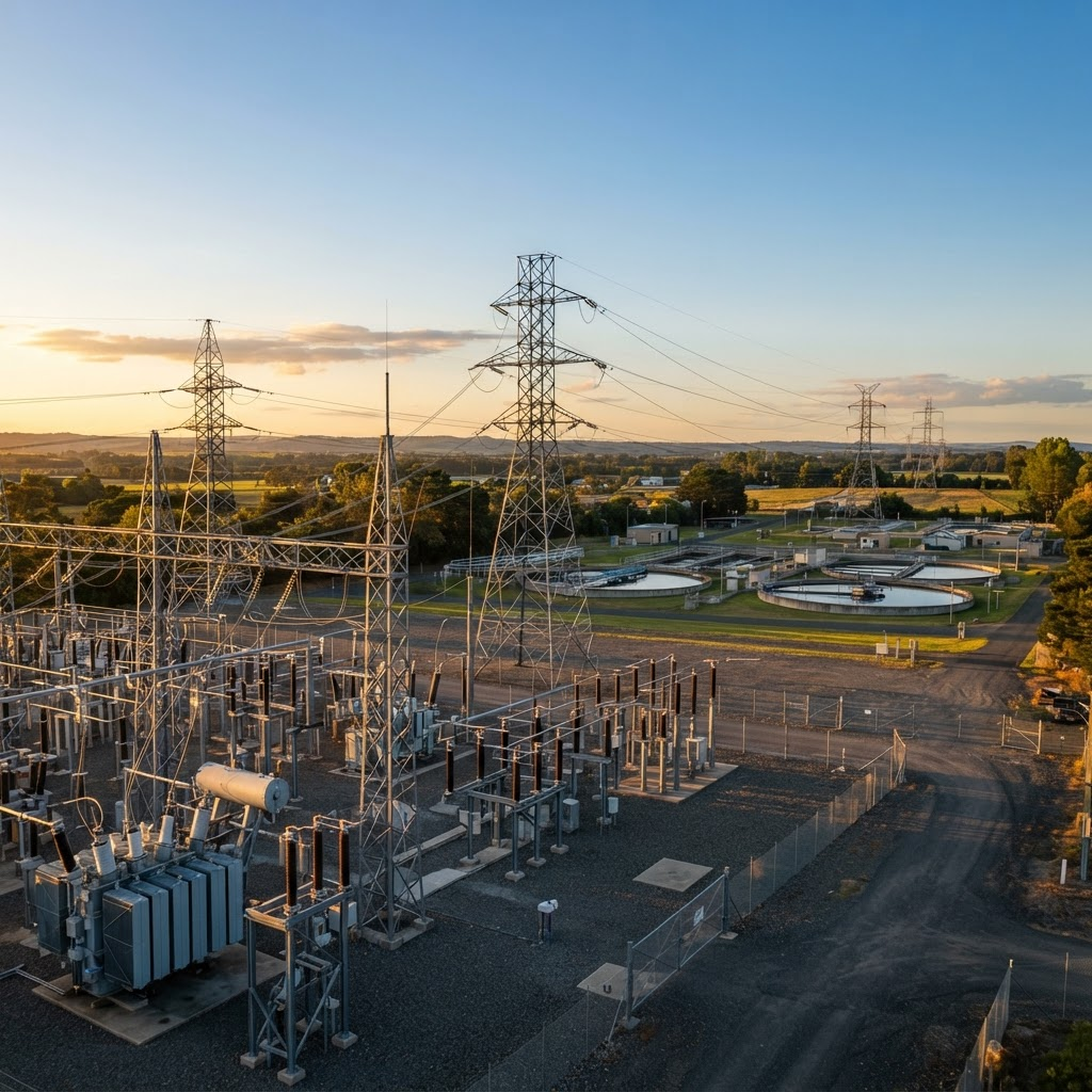
Electrical substation and transmission infrastructure at golden hour
16 sectors

Critical infrastructure is a national priority

Energy, water, and communications assets are designated critical infrastructure for a reason — disruption cascades far beyond the fence line. Geography reveals the dependencies attackers look for.

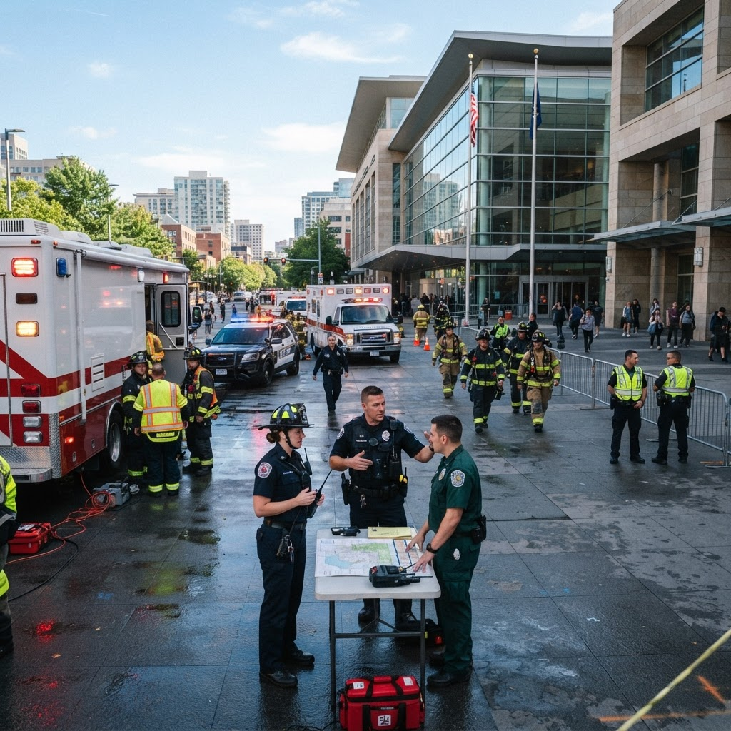
Emergency responders coordinating outside a public building
Minutes matter

Response is decided before the incident

When seconds count, pre-mapped ingress, staging, and egress routes are the difference between a contained event and a catastrophe. Spatial planning done in advance saves lives in the moment.

85%
of critical infrastructure is privately owned and secured
360°
sightline, access, and egress coverage in every assessment
< 1
business day to confidential first contact
A small business owner smiling in the doorway of their new coffee shop

For Small Businesses

Choosing where to open? Let's make sure it's the right spot.

The same geospatial tools that protect stadiums and infrastructure work just as well for a coffee shop, boutique, or family restaurant. If you're eyeing a building for your next location, we'll map out the neighborhood, the safety picture, and the foot-traffic story — so you can commit to a lease knowing exactly what you're walking into.

Know the neighborhood

Foot traffic, nearby businesses, and how people actually move through the area — before you sign a lease.

Understand the risks

Local crime patterns, lighting, parking, and safety factors that affect your customers and your peace of mind.

Pick with confidence

A clear, plain-English report comparing locations so you can choose the spot that gives your business the best shot.

Check a Location — Free Quote

/ Request Assessment

Free Assessment Quote

Know Your Terrain Before It Matters

Start with a confidential consultation and a free, no-obligation quote. Tell us what you protect, and we'll outline how a geospatial threat assessment strengthens your posture.

  • Free, No-Obligation Quote
  • Strict Confidentiality
  • Vetted Analysts
  • Rapid Turnaround

Free, no-obligation quote. Encrypted in transit — your details are never shared.